
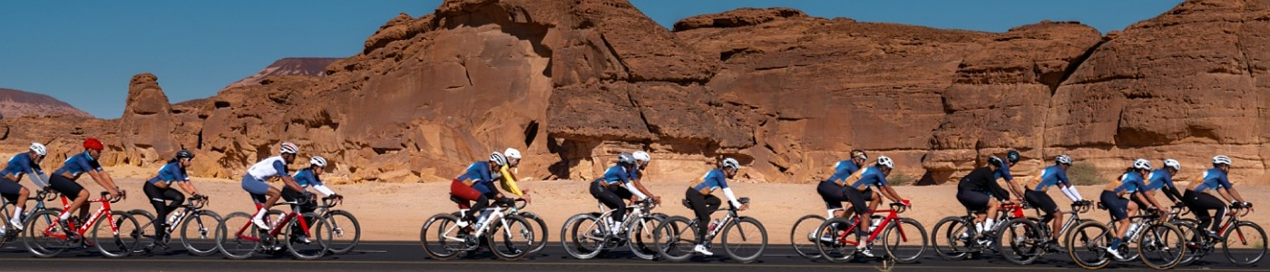

All Stages Summary
Stage 1
Raghadan
60 KM1257 MModerate to Hard
Stage Notes
*** Please wear the official jersey tour ***
Route: Alhawiyah-Alghmdah-Alkarah-Raghdan-Alhawiyah
Rest Stop:
1- Buraidah Point View – After 24.5 Km (15 minuets)
2- Jaderah Point View – After 40.5 Km (5 minuets)
3- Raghdan Park After 51.9 Km (15 minuets)
Stage 2
Thee Ain
59 KM1708 MHard
Stage Notes
For group A:
Route: Alhawiyah-King Fahd Aqaba-Almekhwah-Thee Ain village-King Fahd Aqaba-Alhawiyah
Rest Stop:Thee Ain – After 29 Km (Group A)
For group B:
Route: Thee Ain village-King Fahd Aqaba-Alhawiyah (30 Km distance)
General Note:
– The cutoff time for the climbing is 2:30.
– After reaching the top of the Aqaba, you can wait the bus after the roundabout or you can go directly to Alhawiyah walkway (5 Km distance).
Stage 3
Almandaq
91 KM1640 MModerate to Hard
Stage Notes
Route: Alhawiyah-Bani Hassan-Almandaq-Alatawlah-Alhawiyah
Rest Stop:
1- The Weeding hall – After 53.5 Km
Group A & B: Option to end the ride and return by bus from the same stop point
Stage 4
Baljurashi
73 KM1257 MModerate
Stage Notes
Route: Alhawiyah-Baljurashi-Alhawiyah
Rest Stop:
1- Hezna Aqabah – After 36.7 Km (15 minuets)
Stage 5
Al Aqiq
79.4 KM1237 MModerate
Stage Notes
Route: Alhawiyah-Al Aqiq-Alhawiyah
Rest Stop:
1- Taibat Alasam Park – After 47.3 Km (15 minuets)
Please Note: the routs details above are subject to slight changes